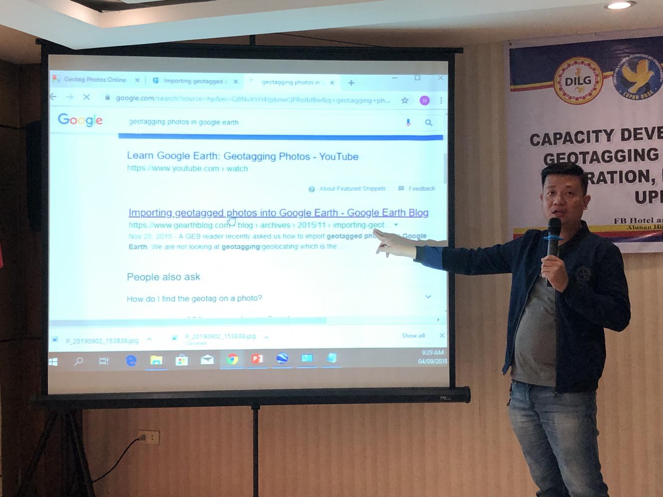
Geo-tagging is a salient point in the Local Road Asset Management of the Provincial Local Government Unit as it provides accurate, complete, and updated maps of provincial road infrastructures and facilities under the Conditional Matching Grant to Provinces (CMGP) Program. With this in mind, the Project Development and Management Unit (PDMU) conducted a Capacity Building on Basic Geo-tagging and Routeshoot Operation, Processing, and Uploading last September 3-4, 2019 at FB Hotel in the City of Koronadal which was participated in by around 20 attendees from the four provinces under Region XII.
ARD Lailyn A. Ortiz, CESO V, welcomed all the participants, for and behalf of RD Josephine Cabrido-Leysa, during the opening program. “CMGP is a good avenue to promote change and good governance,” ARD Ortiz said. She thanked all the Provincial Government Units for their continual support in all the capacity development programs of the Department. ARD Ortiz said “we have to embrace change since we are in the midst of modernization and thus we have to accept the challenges that go with change”. She believes that geo-tagging is a good avenue for promoting transparency. “We have to let the people know that all projects are implemented for their own benefit” and these projects are easily monitored, located and identified. Geo-tagged projects would most likely be implemented well and LGUs stand to benefit from it, especially for those who exemplify Good Financial Housekeeping and or Good Local Governance Seal passers.
Mr. Nikko Baesa, Information System Analyst of the DILG-Central Office led the discussion on the Global Positioning System (GPS). He encouraged the provinces to comply with the Unified Mapping Profile as it would aid them in easily identifying which roads need repair/ rehabilitation and improvement and it can also serve as a common base map of the government. The importance of having ‘geotagged photos’ is to easily monitor the project implementation status through such captured images and automatically pinpoint the geographical location of the project was also highlighted.
On the other hand, Mr. Clyde Malicay, Information System Analyst from the DILG- Central Office pointed out that the main functions of the Geographic Information System are data collection, data analysis and processing and lastly, displaying of the desired data. He also introduced the workshop audience to georisk.gov.ph which provides best options to use in planning risk reduction and hazard-induced damage mitigation and anticipation.


