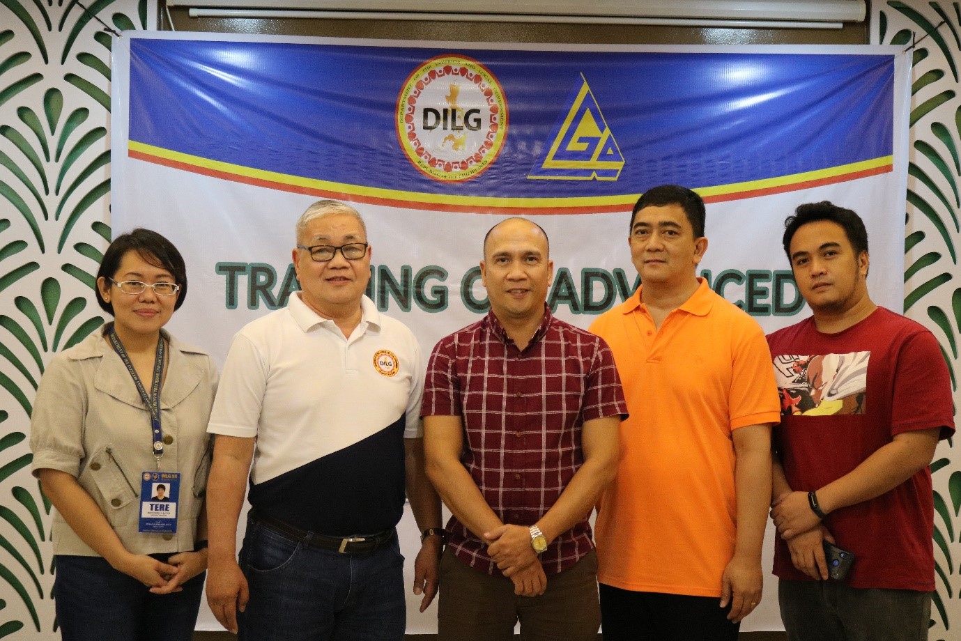
The Department of the Interior and Local Government XII used the existing partnership of the Local Government Academy with the National Mapping and Resource Information Authority to train the C/MDRRMOs, C/MPDCs and GIS Experts of the identified twenty two (22) LGUs in the Region on GIS program using the Quantum GIS software on September 17-21, 2018 at Ellis Suites, General Santos City. It was the sixth batch of GIS Training and the last for this year as provided in the Memorandum of Agreement between LGA and NAMRIA.
In her Opening Remarks, Assistant Regional Director Lailyn A. Ortiz, CESE emphasized the importance of having reliable data in formulating the P/A/Ps to be enumerated in the local plans and to be prioritized in the local budget of the LGUs which could be answered by the outputs from GIS technology. LGOO V Elmo L. Dimaano explained the rationale of the training program with emphasis on the importance of GIS in the local government core processes such as tax mapping, and local hazard mapping. Mr. Alvin F. Laurio of NAMRIA served as the Resource Person and assisted by his colleague Mr. Marco Arkiel C. Ilaagan, and Mr. Eduardo V. Solis of LGA.
Regional Director Reynaldo M. Bungubung, CESO IV, in his closing message, congratulated the participants for their active participation and promised to sponsor more batches of training relating to GIS and other platforms that could be used by the LGUs in improving their plans and performance as front liners in providing basic services to their constituents.
The training program aimed to capacitate the participants on the use of GIS technology in the DRRM and even in identifying climate change adaptation and mitigation activities.
(RELMIE T. TAMSON)


